Course 1: Use DJI Mavic 3 Multispectral to map the field
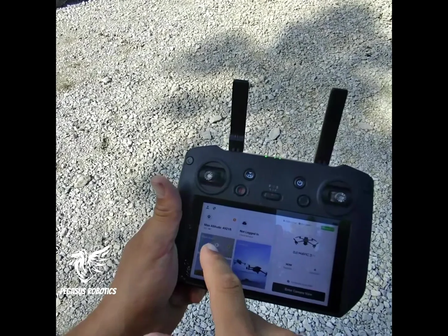
- Start Mapping Mission
- Change the field boundary to cover the area you want to map.
- Set flight height as 395', less than the 400' air space legal ceiling.
- Change the course angle to fit the field and set it lengthwise to take fewer turns.
- In the Advanced setting, set
- 70% side and 80% front overlap.
- 80% to 100% margin
- Save mission
- Start the flight